File:Woodfield Map.png
From Flexible Survival
Size of this preview: 564 × 599 pixels. Other resolution: 900 × 956 pixels.
Original file (900 × 956 pixels, file size: 172 KB, MIME type: image/png)
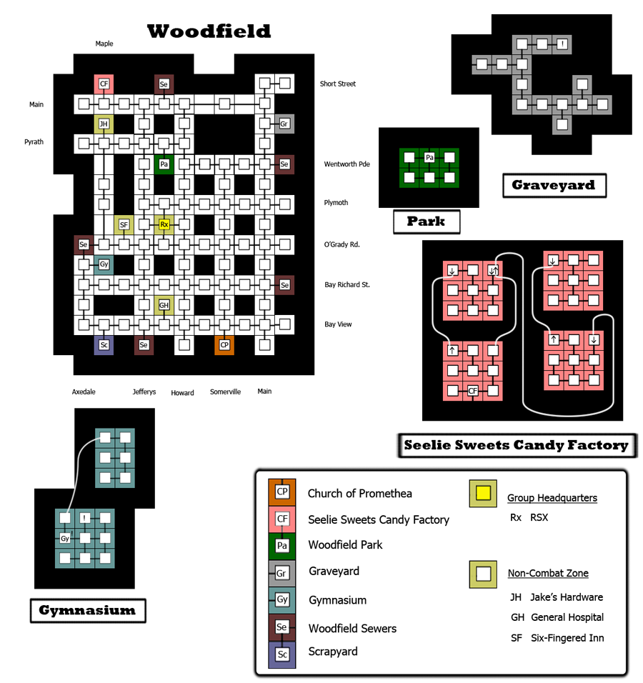
Map of Woodfield as of 9/20/2011
File history
Click on a date/time to view the file as it appeared at that time.
| Date/Time | Thumbnail | Dimensions | User | Comment | |
|---|---|---|---|---|---|
| current | 19:46, 29 September 2011 | | 900 × 956 (172 KB) | Atrius (talk | contribs) | Added Candy Factory submap. |
| 01:12, 22 September 2011 | 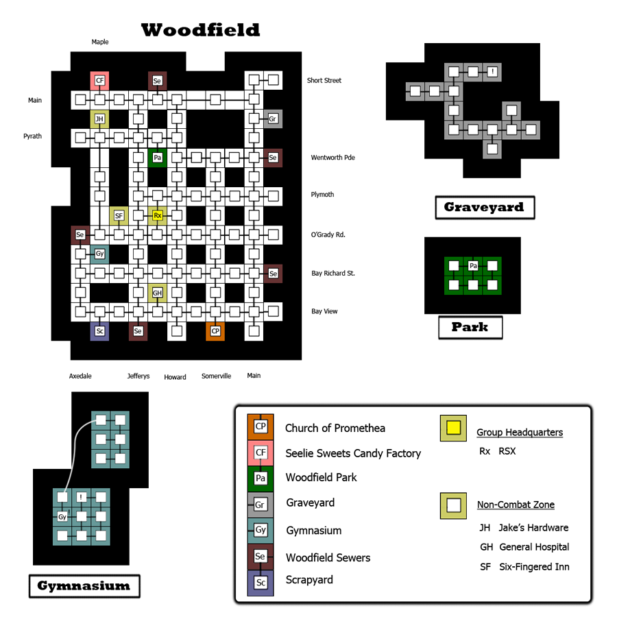 | 900 × 900 (139 KB) | Atrius (talk | contribs) | Updated to have 3 of the 5 islands. | |
| 04:55, 20 September 2011 |  | 900 × 900 (75 KB) | Atrius (talk | contribs) | Map of Woodfield as of 9/20/2011 |
You cannot overwrite this file.
File usage
The following page uses this file: